& encuentre a todos sus clientes en un solo lugar durante todo el año
Hacerse expositor
{{product.productLabel}} {{product.model}}
{{#if product.featureValues}}{{product.productPrice.formattedPrice}} {{#if product.productPrice.priceType === "PRICE_RANGE" }} - {{product.productPrice.formattedPriceMax}} {{/if}}
{{#each product.specData:i}}
{{name}}: {{value}}
{{#i!=(product.specData.length-1)}}
{{/end}}
{{/each}}
{{{product.idpText}}}

... El AlphaAir 10 es una solución avanzada de topografía aérea que integra a la perfección sensores LiDAR y RGB para satisfacer las necesidades de la cartografía LiDAR profesional con UAV y la fotogrametría con drones. Aprovechando la ...
... inclinada: H 8 mm + 0,7 mm/° (0–60°); V 15 mm + 0,7 mm/° (0–60°)

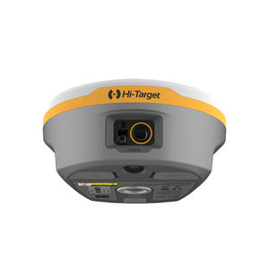
... R26 Sistema topográfico Rover+Base El receptor Beidou/GNSS integrado R26 es una batería de gran capacidad incorporada, tarjeta de memoria de gran capacidad, receptor RTK de navegación inercial de alta precisión multifuncional ...
SMAJAYU(SHENZHEN) CO.,LTD

... frecuencia completa Beidou/GNSS incorporada, y múltiples puntos de frecuencia en todo el sistema Tableros de posicionamiento y orientación de alta precisión, Bluetooth, navegación inercial, radio y otros módulos. Sistema ...
SMAJAYU(SHENZHEN) CO.,LTD
& encuentre a todos sus clientes en un solo lugar durante todo el año
Hacerse expositora los mejores proveedores